Philipsburg Area Weather & Road Conditions
Philipsburg Area Weather
& Road Conditions
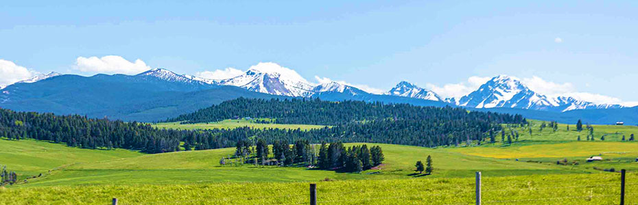
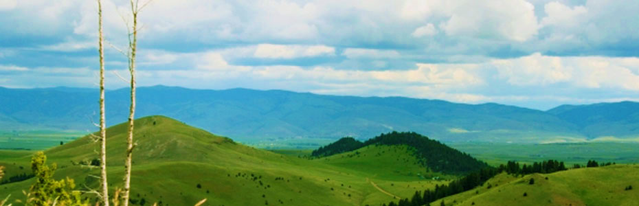
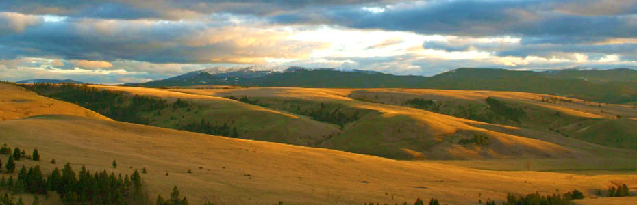
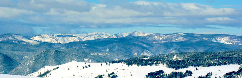
Philipsburg is located in the Southwest of Montana halfway between Yellowstone & Glacier National Parks at an elevation of approximately 5,220 feet. Steady snow can appear as early as October in Philipsburg, and by Christmas temperatures average a high of 33°F with an average low of 14°F. That average drops a few degrees in January, which is generally our coldest month of the year. There have been a few years that the temperature drops to below -30°F in January. By Memorial Day weekend, days lengthen to about 15 hours of daylight with an average high of 60°F. While temperatures rise to an average high of 78°F in August—our warmest month of the year—the odd snow flurry isn’t unheard of in June or July, so we always recommend that visitors dress in layers. Temperatures usually range from an average high of 68°F to an average low of 35°F in September. Philipsburg averages 351 days of sunshine and 14.6 inches of precipitation a year.
Visit the links below for current weather & road conditions in the area. The "Montana Road Conditions" Map provides a "Map Overlays" menu to the right. To view current road conditions, be sure to select "Road Conditions" from the "Map Overlays" menu. The map shown below the links on this page provides an area reference for your convenience.
Georgetown Lake Ski Discovery Area Anaconda
Missoula Stevensville Hamilton
Helena Deer Lodge Butte
Montana Road Conditions McDonald Pass Homestake Pass
Montana Live Atmospheric & Roadway Condition Cameras
Georgetown Lake Ski Discovery Area Anaconda
Missoula Stevensville Hamilton
Helena Deer Lodge Butte
Montana Road Conditions
McDonald Pass Homestake Pass
Montana Live Atmospheric & Roadway Condition Cameras
Philipsburg Area Map
"Southwest Montana Motel"
915 W. Broadway
Philipsburg, Montana
(406) 859-3959
The Inn at Philipsburg & RV Park
Proprietor: Karyn Byhre